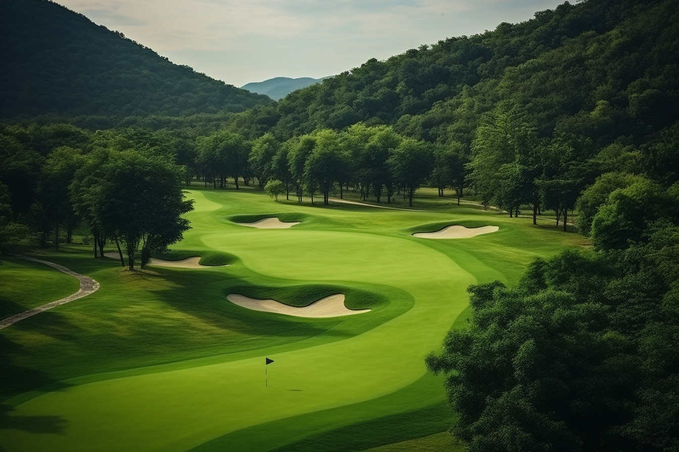
An aspect of sustainability is changing how golf courses are managed, which includes golf course mapping for sustainability. Using digital surveying tools, GIS platforms, and enhanced terrain data is beneficial to golf course management by providing complete visibility of the conditions of turf, water needs, and environmental effects. Golf course mapping can help minimize inputs, conserve natural resources and improve playability. As golf courses come under increasing scrutiny to be responsible in their operations, digital mapping can provide the data-driven approach necessary to implement environmentally sound turf management practices long-term.
How GIS and Drone Mapping Improve Course Health and Efficiency
Mapping golf courses via GIS provides detailed spatial layers to visualize soil type, moisture zones, and vegetation health. Mapping golf course surfaces using drone technology provides levels of accuracy, comparing shading, elevation, and areas of wear that we have never seen before. Water usage in golf courses is more effective when managers can visually see their hotspots. During precise turf management, fertilizers and pesticides will require minimal application or only where it is needed.
Digital tools such as GIS and drone mapping provide actionable intelligence for course managers, making their decisions more insightful. These managers can increase efficiency when making changes to irrigation, reduce turf stress on the course, and ultimately use fewer inputs. By harnessing these technologies and data sources, golf courses improve playability while maintaining sustainable best management practices for golf courses.
Using GIS Mapping to Identify Environmental Stress Zones
GIS layers reveal patterns of drought stress, soil compaction, disease spread, and nutrient deficiencies. This allows turf managers to address problems early and avoid overuse of chemical treatments. By pinpointing micro-issues, courses maintain healthier turf with fewer resources and reduced environmental impact.
How Drones Help Manage Turf?
Using drones with NDVI imagery can help monitor turf vigor and identify turf stress before it can be seen with the eye. Obtaining aerial information that is real-time allows for actions to be taken, and with the right decisions, targeted areas are cared for first while reducing unneeded management and maximizing return on resources on the golf course.
Improvements in Water Management with Digital Mapping Tools
Using digital mapping allows one to see patterns of hydrology, movement of run off, and moisture distribution. This improved view will allow the superintendent to adjust irrigation schedules to apply less water, be more effective in use and maintain similar growth of turf quality. The improvements in water management lead to conservation efforts while maintaining play, reducing overnight water management, and can be self-sustaining.
Reduction of Inputs with Precision Turf Management
Use of mapping technology for precision turf management ensures fertilizer, pesticide, and management are applied only where needed, decreasing potential for chemical runoff while also decreasing overall operational costs with healthier turf grass as a result for many applications. Reduce inputs and tracking inputs lead to thinking about code compliance and eco-friendly stewardship.
Frequently Asked Questions

Founder & CEO
Bigyan Kar is the driving force behind Geoshot Technologies and has been since its founding, leading the company’s vision in delivering advanced CAD, GIS, graphics, map illustrations, and 3D solutions across multiple industries. While Geoshot serves a wide range of sectors, Bigyan has maintained a strong specialization in golf course graphics, CAD drafting, and mapping—ensuring highly accurate and visually compelling representations for golf architects and planners.